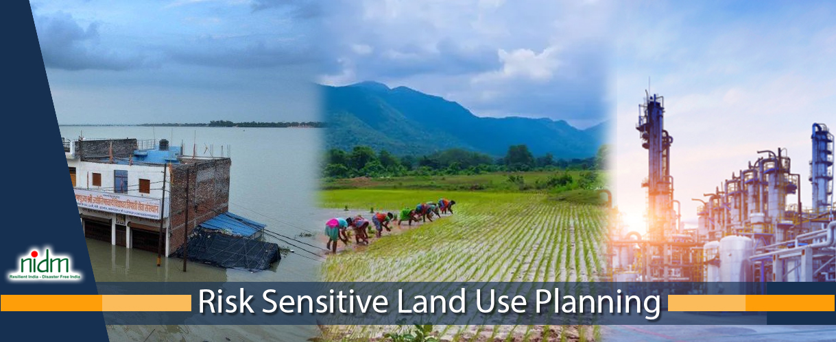
Risk Sensitive Land Use Planning

Overview
The new paradigm in disaster management focuses on reducing people’s vulnerability to natural hazard risk. Urban vulnerability and risk, determined by the location of residential areas, industries, public facilities and the urban morphology, proactively can be managed with adequate land use planning. Through land use planning disaster risk factors can be modified to decrease vulnerability, increase resilience and mitigate potential damages and losses. Land use planning with its' wide array of regulatory and non-regulatory methods as well as structural and non-structural approaches is an effective tool in disaster risk management.
The Risk Sensitive Land-use Planning course was developed by the World Bank Institute in collaboration with the Earthquakes and Megacities Initiative. It aims to demonstrate the benefits of incorporating disaster risk reduction objectives in land use planning, presents the process involved in integrating disaster mitigation with local land use management, and illustrates the advantages of this integrated approach using specific examples.